by the road
next to the parking lot
trailhead
beginning of trail
Today Riley and I headed up to Graysville, TN to hike part of the Roaring Creek Trailhead. It is a 30 minute drive from our house, which isn't too bad. It is part of the Cumberland Trail and we've been working on hiking the CT segments over the past several years.
The parking lot for the trailhead was easy to find, as I had read about in Pam Greer's blogpost.
We did not go all the way to Cranmore Cove Overlook. We learned from one of the trail runners later that we were close to it. It's about 3/4 of a mile from the waterfall / creek crossing. We had gone a ways into the pine forest area, but turned back. We were probably a 1/4 mile from it. Next time! In fact, I think we will start at the Dogwood West / Gilbreath Creek CT Access Trail next time and hike to Cranmore Cove Overlook. This trail is also known as the Graysville Mountain Trail and is near Highway 30 in Dayton. One hiker (Craig) mentioned that the trailhead parking is on Bluff View Road.
Now that we know where we want to go next, what about our hike today?
The parking was spacious. There was only one car when we got there in the morning. There were three when we left and one pulled in as we were leaving.
True to what we had read about it, the trail went along Roaring Creek for quite a bit until it forked to the right. However, there was no "roar" today. We did find some sections of trickling water and pooled up water.
When we forked to the right, we went along another creek bed for a while before coming to the sign that pointed up the mountain.
We headed up. When we got the sign that said "Hell's Kitchen" to the left, we went to the right. Evidently, it's a bouldering area.
True to what we had read, the switchbacks made it tolerable. There were downed trees along the way. They were passable.
The rocky sections were not too bad, though I was careful to watch my feet. There were places on the beginning of the path that had rocks on them too, underneath leaves. That required paying attention. That's okay. Hiking for me is about attentiveness and mindfulness, so it worked out well.
The rock walls along the side of the mountain were gorgeous.
We came to one spot that looked like a two car garage. We checked it out more closely.
We continued our hike up and up.
When we crested the top, we saw some overlooks, but kept going.
When we crossed over the dry creek bed of where the waterfall would be, we kept going.
waterfall when there is water
looking up the dry creek bed from where the water would fall
The pine forest with dense pine straw was a neat area to hike.
At about 2 miles we decided to turn back and have lunch at an overlook. We chose the dry waterfall creek bed until yellow jackets decided to chase us away. Near that spot are some cool rocks to explore. I played around for a little bit before we headed to our 2nd lunch location-- an overlook. At first you couldn't see a trail. I bush wacked my way. Riley found an older trail. Yellow jackets found us there too, but not as many of them.
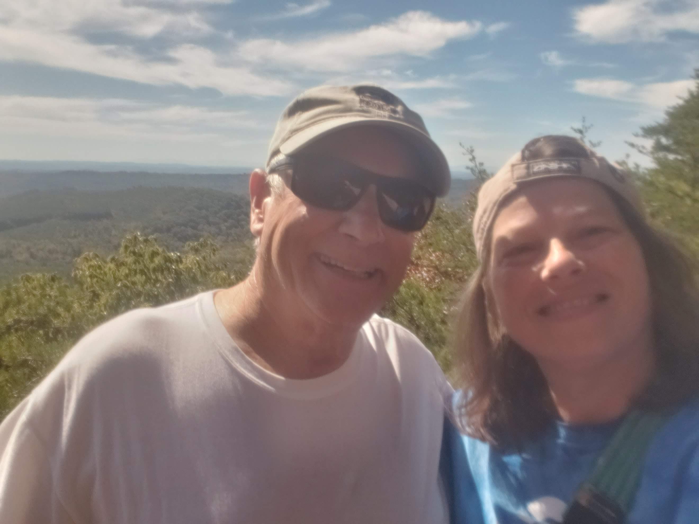
We stopped at the final overlook before heading back down the trail on the switchbacks.
We only saw 3 other people on the trail today-- 2 runners and 1 other hiker.
It was quiet. It was peaceful. It was beautiful.
Seeing the evidence of coal and coal mining was cool too. A bit of history.
Being under tree canopy for the majority of the hike made it a great hike too. It never got too hot. Of course, the weather was cooler today as well. We started off in the mid 40s and I think it was about 70 degrees Fahrenheit when we finished.
My Run Keeper app kept starting and stopping. One time it just kinda jammed up. I don't think I got an accurate mileage. It clocked 4.08 miles, but I think we did more like 4 1/2 or closer to 5 miles. We hiked a total of 3 hours. It's not 100% about keeping statistics. It's about getting into nature and allowing nature to get into me. But, I do like to keep up with my exercise. :)
Being in nature was good today! I only saw one mushroom on the trail, but the rocks, trees, breezes, and water made up for the lack of 'shrooms. My soul was refreshed by being in nature and I'm glad we were able to take this new-to-us hike today.
Thanks for sharing this hike with me!
Deb
PHOTOS ARE MINE
OTHER LINKS FOR CUMBERLAND TRAIL:
- Graysville Mountain RMA Section
- MAP (this map and the map at the kiosk say no southern trail is completed, but there is a sign shortly into the Roaring Creek Trail that says "Cumberland Trail South".